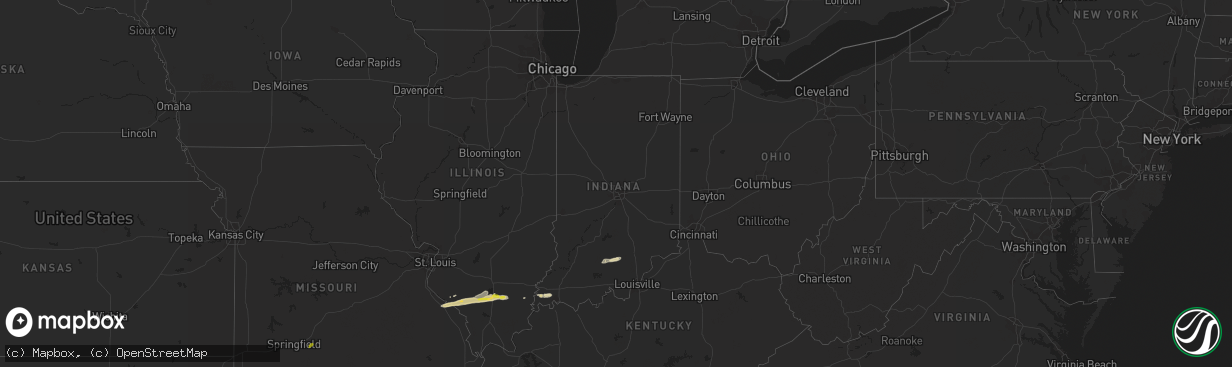
Hail Map in Indiana on February 9, 2024
The weather event in Indiana on February 9, 2024 includes Hail, Wind, and Tornado maps. 6 states and 67 cities were impacted and suffered possible damage. The total estimated number of properties impacted is 0.
Hail
Wind
Tornado
0
Estimated number of impacted properties by a 1.00" hail or larger0
Estimated number of impacted properties by a 1.75" hail or larger0
Estimated number of impacted properties by a 2.50" hail or largerStorm reports in Indiana
Indiana
| Date | Description |
|---|---|
| 02/09/20244:04 AM CST | Multiple trees damaged and power lines down near taft road east of new washington. Time estimated from radar. |
| 02/09/20243:48 AM CST | Corrects previous tstm wnd dmg report from 1 nw henryville. Semi-truck blown over on interstate 65 northbound near underwood. Time estimated from radar. |
| 02/09/20243:44 AM CST | Report of trees and power lines down along us 31 north of henryville. Time estimated from radar. |
| 02/09/20243:42 AM CST | Semi-truck blown over on interstate 65 northbound just north of henryville. Time estimated from radar. |
Cities Impacted by Hail Map on February 9, 2024
- Oklahoma City, OK
- Wickes, AR
- Grannis, AR
- Umpire, AR
- Dierks, AR
- Norman, AR
- Caddo Gap, AR
- Mount Ida, AR
- Royal, AR
- Hot Springs National Park, AR
- Mountain Pine, AR
- Hot Springs Village, AR
- Lonsdale, AR
- Benton, AR
- Mabelvale, AR
- Hensley, AR
- England, AR
- Fordland, MO
- Seymour, MO
- Fruitvale, TX
- Edgewood, TX
- Bonnerdale, AR
- Chester, IL
- Steeleville, IL
- Saint Mary, MO
- Perryville, MO
- Walsh, IL
- Sainte Genevieve, MO
- Percy, IL
- Campbell Hill, IL
- Ava, IL
- Du Quoin, IL
- Pinckneyville, IL
- Vergennes, IL
- Ellis Grove, IL
- Mulkeytown, IL
- Benton, IL
- Christopher, IL
- Whittington, IL
- Ewing, IL
- Macedonia, IL
- Thompsonville, IL
- Wadesville, IN
- New Harmony, IN
- Mount Vernon, IN
- Evansville, IN
- Jessieville, AR
- Royalton, IL
- Buckner, IL
- Carmi, IL
- Rockwood, IL
- Dowell, IL
- Cutler, IL
- Elkville, IL
- Sparta, IL
- Orleans, IN
- Salem, IN
- Campbellsburg, IN
- Paoli, IN
- West Baden Springs, IN
- Sesser, IL
- Scheller, IL
- McLeansboro, IL
- Tamaroa, IL
- Uvalde, TX
- Knippa, TX
- Sabinal, TX


